Vector Sources API
Our Vector Sources API provides you with access to the underlying map data in our Map Tiles. We use these vector tiles internally to generate our Map Tiles and Static Maps on our servers. Our vector tiles are also available for you to use directly, for example with on-device rendering.
Are you looking for a ready-made client-side map API? One which shows colourful maps, instead of just providing the raw data? Our Vector Styles API might be what you are looking for!
What are vector tiles?
Vector tiles contain all the raw map information required for the corresponding image tile. They are compressed protobuf files and are created from the shapefiles and PostGIS database normally used for rendering. By pre-processing the data into vector tiles they become easy to ship around, and very fast to convert into raster image tiles - so fast that the raster images don’t even need to be stored! They are also used for client-side rendering, either directly or through our Vector Styles API
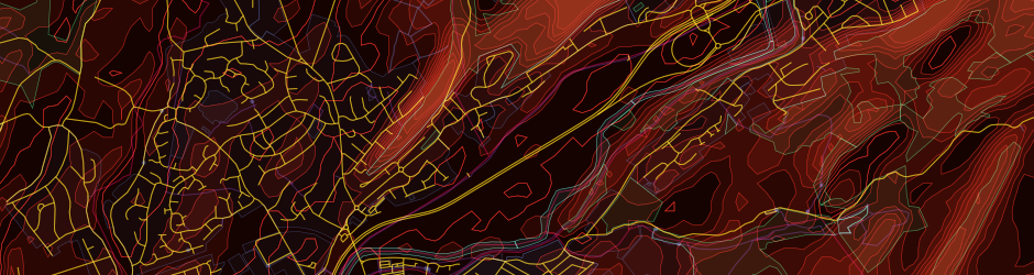
Vector Tilesets
We have two vector tilesets available for you to use in your projects:
- thunderforest.transport-v2
- Developed specifically to contain the detailed transport information required for the Transport map layer.
- thunderforest.outdoors-v2
- Contains data for contours, elevation and hillshading, and in fact all the data needed to power both the Outdoors and Landscape map layers - and the OpenCycleMap layer too!
All our vector tilesets are available in the MVT format, so they are compatible with a wide range of rendering libraries, including Mapbox, MapLibre and other libraries.
You’ll need an API Key to access all of our APIs and services.