Map Tiles API
Our Maps Tiles API allows you to create maps in your application or website using server-side rendering.
Use cases
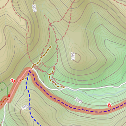
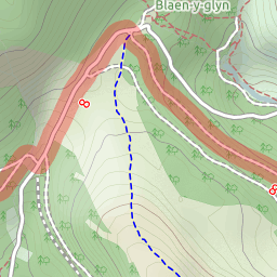
Raster maps are ideal for providing your end-users with detailed maps. It’s also simple to implement. All the work is done server side, so your developers just need to configure their map toolkit to use our API, and everything else works seamlessly.
Getting started
Most of our customers use a map rendering library such as Leaflet or OpenLayers. These transform raw geospatial data (such as raster tiles) into interactive maps on websites or apps.
Our Map Tiles API follows the standard format for Web Mercator map tile services. Your map rendering library will fill in most of these parameters for you.
For example, the library will calculate the z, x and y parameters automatically as you move the map.
You will choose other parameters yourself, such as the map style or format.
The URL format for the Maps Tiles API is:
https://api.thunderforest.com/{style}/{z}/{x}/{y}{scale}.{format}?apikey={apikey}
Available Maps
All our map styles are available on our Map Tiles API. These include:
- OpenCycleMap
- Transport (Standard and Dark)
- Landscape
- Outdoors
- Atlas
Map rendering library tutorials
Here’s a list of our tutorials for our Map Tiles API:
- Javascript OpenLayers
- Javascript Leaflet
- Flutter flutter_map
- Javascript MapLibre (Map Tiles API)
If the library you are interested in isn’t listed here, please get in touch - we’re happy to add more examples to this list.
Tile Numbers (z/x/y)
Our tile numbering follows the standard Web Mercator scheme, with 0,0 in the top left on each zoom level.
You can read more about the tile numbering, but most libraries calculate these for you.
Retina Tiles
The scale parameter allows you to request ‘retina’ or ‘hidpi’ map images.
For example, setting the scale to @2x will return map tiles at double scale, but otherwise showing exactly the same features and labels.
Some map libraries support automatic detection for retina screens, including Leaflet.