The story behind Outdoors
By company founder Andy Allan
Outdoors was the fourth style that we designed. I wanted to create a counterpart to OpenCycleMap, but where the main focus would be on hiking and walking routes, rather than cycling routes.
I also wanted the two maps to be visually distinct from each other, so I started from scratch with a new set of colours, both for the background and elevation colouring, but also for land use, buildings and so on.
Challenges – labelling hiking routes
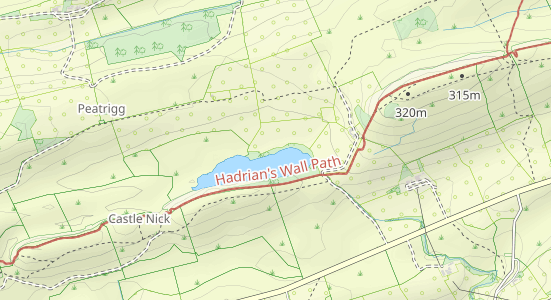
The biggest challenges were around hiking routes, particularly getting their names to show up.
Unlike cycling routes, which tend to have a short reference number, hiking routes generally have longer, more wordy names. A typical hiking route is made up of short sections of paths, roads and tracks, often less than a kilometre long. At many zoom levels these are individually not long enough to show the name.
Our solution has been to do various processing, including joining the short sections together, simplifying the route, and smoothing out all the little chicanes, in order to get the labels to show in the way we want.

Success – user-friendly design
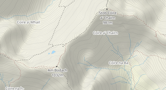
I’m particularly pleased with the combination of the elevation colouring, hillshading and contour lines. I find Outdoors very easy to read in hilly and mountainous areas. I can glance at an area and immediately understand where the ridges and valleys are, and how steep the paths might be.
I’m also pleased with the way that we show the difficulty of the paths. As the difficulty, also known as the SAC Scale, increases, the paths turn from black to red and the dashes shorten until they become dots. I think it’s very useful for hikers to know what the condition of the paths are like, while also supporting customers who want to see all the available routes.

Updates – regular iterations
As with all our maps, there’s been a large number of iterations of Outdoors. We are always tweaking our maps and updating them, adding more features (like wetlands or chairlifts) and reworking existing features, such as improving the way we label hotels and restaurants.
Get started with Outdoors Preview Outdoors
Free plan available - no credit card required