NATS and Thunderforest

NATS, the United Kingdom’s leading provider of Air Traffic Control services, uses both custom and ready-to-use Thunderforest maps across a variety of applications.
We talked to Paul Gee, a consultant within the Digital Communications team.
“Despite exploring other mapping source providers, none demonstrated the same level of commitment to helping us achieve our objectives.”
What led NATS to choose Thunderforest?
Ten years ago, NATS began developing a flight tracking and airspace education application. We evaluated a number of mapping solutions during the development phase, including the market leaders, but the deployment costs escalated significantly with the number of projected users.
Thunderforest was recommended to us and, after an evaluation period, we chose it as our map tile host. Thunderforest mapping has been a cornerstone of the Airspace Explorer app ever since.
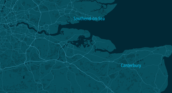
We required a custom map style and Andy Allan, Thunderforest founder and digital cartographer, designed a map style that remains our preferred choice. Our NATS style provides sufficient mapping detail and contrast without overshadowing the information we aim to present.
This map style is frequently used in other projects and has become our default.
Our Airspace Explorer app uses a bespoke mapping engine, which requires an open tile source. Thunderforest’s lack of vendor lock-in, unlike the Mapbox or Google Maps, made it an ideal solution.
How is Thunderforest being used more recently?
Thunderforest is employed within the non-standard flight applications portal (NSF).
Users can visit the NATS website to register for drone usage, manned flights, or parachute drops that traverse restricted airspace.
We have developed a microsite where users can click on a map to indicate their intended flight path and the restricted areas they will interact with.
What is your experience with the Vector Styles API?
We have begun using the Vector Styles API and the Atlas style for several internal test projects. Additionally, we use Maputnik, which includes Thunderforest as one of the integrated vector sources. This allows for seamless integration with MapLibre, resulting in a smooth and quickly rendered map.
While we attempted to use vector in the Airspace Explorer app, the need to support older devices hindered the rendering process, leading to a suboptimal user experience. Consequently, we have opted to use vector for web development work.
Why does NATS continue to use Thunderforest?
Thunderforest has consistently delivered a reliable service with minimal overhead or maintenance, unlike other providers.
Thunderforest’s flexibility and willingness to support us during the initial launch was invaluable.
Despite exploring other mapping source providers, none demonstrated the same level of commitment to helping us achieve our objectives.
For NATS, Thunderforest remains the preferred mapping choice.
Get started today
Test out your ideas with our free plan. Paid plans from $125 per month.