New Vector Tileset - thunderforest.outdoors-v2
Last August, we quietly started using our new thunderforest.outdoors-v2 vector tileset as part of the production process behind our Map Tiles API. We started with our Outdoors map and rolled out the upgrade across our different maps, one at a time. Yet even though the new vector tileset had proven itself in production, there were still a few bits and pieces that I wanted to rework before announcing the release, and some documentation that I’d not quite finished off - so this announcement is a little later than planned! However, at long last, I’m pleased to announce that the thunderforest.outdoors-v2 vector tileset is now available for everyone to use!
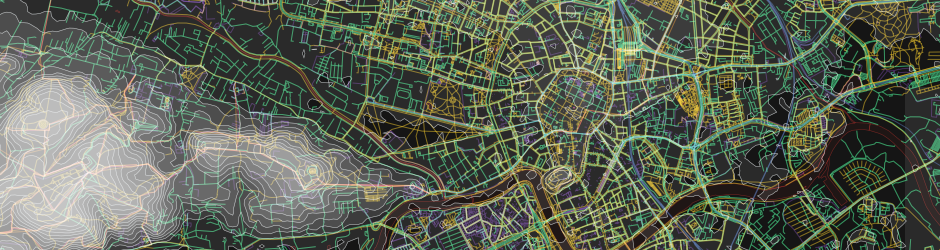
As I mentioned last time, this update ended up being much larger than I originally intended, and so it brings a wide range of notable improvements. Highlights include better elevation and shading layers (more on them in a future post), more points of interest, simplified landuse and landcover polygons, higher performance roads layers and improved multi-lingual labelling support. We’ve added addressing information, combined similar layers for easier style development, and added dozens of other new features.
Over the last few months we’ve also been working on significant performance optimisations for on-device rendering, which have drastically cut the size and complexity of these vector tiles. This has made a big impact for rendering on mobile devices, where the smaller vector tile sizes and changes to the detailed feature layout now leads to a smoother rendering experience, particularly on older devices. We’ve gone to great lengths to make sure that simplification of features is more than just filtering on size - for example, with lakes or forests you don’t see individual polygons suddenly pop into view when crossing an arbitrary size threshold. Given our relentless focus on cartographic quality, these simplifications were developed with a close eye on the visual details. So no oversimplifications or weird looking polygons; we retained our great looking topography; and our vector tiles still contain all the features and attributes needed for the detailed cartography for which we’re recognised.
I’ll go into more details about this update in future posts, but for now you can review the documentation for this tileset and for our Vector Sources API in general. If you haven’t done so already you can sign up for your Thunderforest account today - and if vector tiles are not your cup of tea, check out our Map Tiles API for our high-performance pre-rendered map images.

Andy Allan is the Founder and Chief Mapwrangler