Examples of Custom Map Styles
If our ready-to-use maps don’t quite do the job, we can quickly create a custom map for you.
- 1. Create a highly customised map that supports your specific use case
- 2. Make small changes to one of our ready-to-use maps
- 3. Create a custom background map
- 4. Start from scratch
Just need to overlay your own information? You can do that with all our ready-to-use maps.
1. Create a highly customised map that supports your specific use case
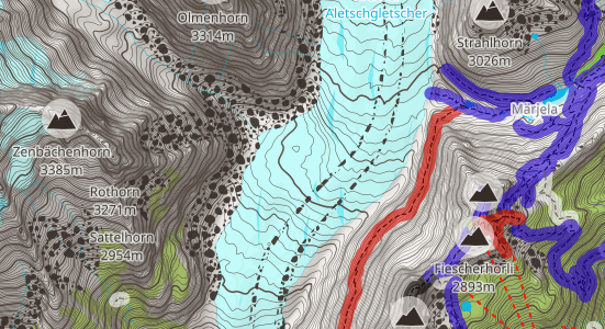
Mountain trekking map
User priorities:
- Quickly locate mountains: make icons large and clear
- Easily see difficulty rating of paths: boost path highlighting
- Make navigation easy in various lighting conditions: use high contrast colours
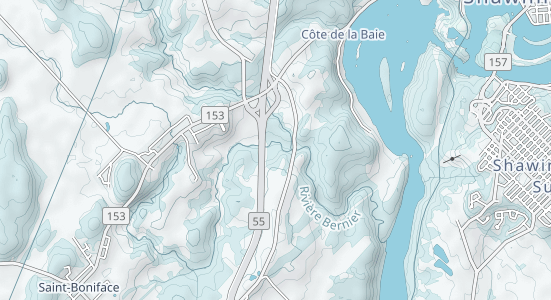
Snowmobile map
User priorities:
- Quickly see all snowmobile routes: de-prioritise other routes
- Make sure snowmobilers know their location: prioritise route shields and labels
- Show place names in preferred language (French)
- Show live state of routes: include hazard warnings and closed routes
- Use appropriate colours for seasonal winter activity: create winter style
You can see this route live at FCMQ.
Thunderforest have provided the base layer. FCMQ have overlaid all the snowmobile information.
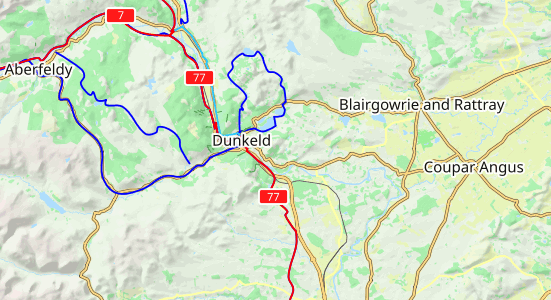
Rescue map
User priorities:
- Quickly see where they are in bright sunlight: use high-contrast style
- Emphasise route labels: use clear labels visible even at low zoom
- Quickly spot terrain: use clear terrain styling to show mountains, forest and low land
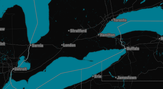
Dark Mode
User priorities:
- Respect Dark Mode preference
- Easily differentiate between water and land
- Enjoy accurate and interesting map style
2. Make small changes to one of our ready-to-use maps
Lightly customised version of our Neighbourhood map
- Make cycle paths blue
- Add one-way arrows
- Other small details
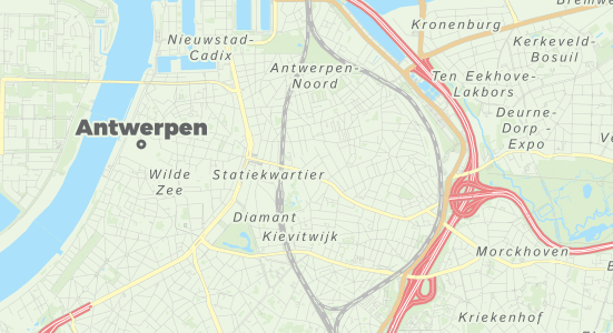
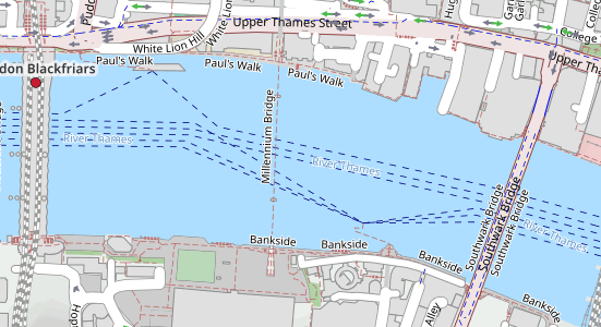
Lightly customised version of OpenCycleMap
- Remove map highlighting
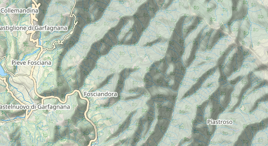
Lightly customised version of Outdoors map
- Remove hiking routes (so can overlay own route)
- Remove specified labels and icons
3. Create a custom background map
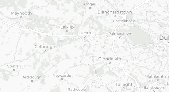
Create a simple background layer to overlay air traffic control information
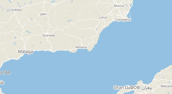
Low-contrast style to overlay financial information
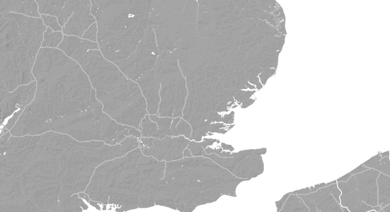
Create customised ground-tiles base map
You can see this option live at: Windfinder
4. Start from scratch
If you have a project that needs something entirely novel - for example a map with no roads, or a fantasy map set in medieval times, or something distinctly different - we can do that too.
For completely unique maps, we can start from a blank sheet, and build every detail starting from scratch.
It’s unusual for us to do this, but the option is there if you need it. If you’re considering this, we’re intrigued to hear more.
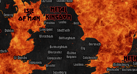
Have you seen our film-inspired Spinal Map?
See Thunderforest Custom mapping: what’s involved to get started on your custom map.